 சினிமா
 டிவி
 Podcast
 iPaper
 கோயில்கள்
 புத்தகங்கள்
 Subscription
 திருக்குறள்
 கடல் தாமரை

அக் 24, 2026 06:44 PM
அக் 24, 2026 06:44 PM

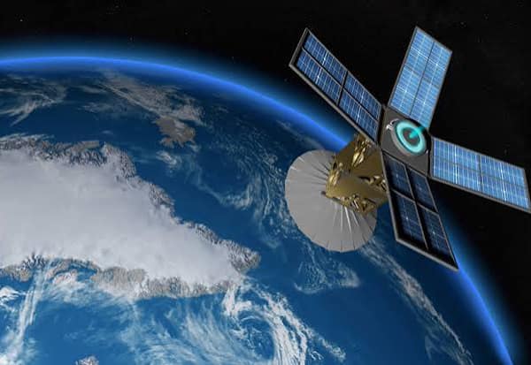
The space industry is no longer defined solely by rockets, satellites and astronauts. Today, data collected from space and transmitted to Earth is emerging as a valuable commercial resource, creating new business opportunities across multiple sectors.
Satellites capture images of the Earth every day. However, their greatest value lies not merely in the images themselves, but in the insights that can be extracted from them.
Satellite data can help track crop growth, monitor changes in water bodies, map urban expansion, assess forest cover, measure sea temperatures, identify mineral resources and evaluate the damage caused by natural disasters.
By converting this data into practical insights that support decision-making, the space industry is opening up new markets and creating business opportunities far beyond space exploration.
From Images to Insights
A single satellite image can cover thousands of square kilometres. Extracting meaningful information from such vast amounts of data requires technologies such as artificial intelligence (AI), machine learning and advanced image analysis.
These technologies can help identify areas suitable for agriculture, detect water accumulation, monitor construction activity and track changes in land use.
As a result, the space industry is increasingly converging with fields such as data science, Geographic Information Systems (GIS), computer vision and artificial intelligence.
This shift is also changing who can participate in the space economy. Companies no longer need to manufacture rockets or build satellites to enter the industry. Businesses that acquire satellite data, analyse it and convert it into sector-specific insights can also create valuable services and commercial opportunities.
From Agriculture to Insurance
Agriculture is one of the sectors benefiting from satellite-based insights. Satellite imagery can help monitor crop health, identify areas affected by drought and track changes in growing conditions. Such information can support farmers in making better-informed decisions.
Insurance companies can also use satellite data to assess risks associated with extreme weather, estimate crop damage and improve the evaluation of agricultural insurance claims.
In urban planning, satellite imagery can reveal changes in land use and help authorities monitor the expansion of cities. Infrastructure companies can use it to track road construction and other development projects, while mining companies can monitor changes in terrain and assess surrounding environmental conditions.
From agriculture and insurance to urban development and mining, satellite data is becoming a powerful tool for solving practical problems on Earth. The emerging opportunity lies not just in collecting information from space, but in transforming that information into solutions that businesses, governments and communities can use.

Advertisement